Custodians of Christchurch City’s shallow groundwater monitoring network
Project
Following the 2010-2011 Christchurch earthquake sequence, a network of piezometers was installed by the Earthquake Commission across Christchurch to monitor shallow groundwater levels. This is referred to as the Automated Piezometer Programme (APP) network. In 2019, ownership of this network was passed to Christchurch City Council (CCC), and CCC engaged Aqualinc to manage this network on their behalf. The network is believed to be one of the largest shallow groundwater monitoring programmes globally.

Scope of the project
Each year, our team visits each APP piezometer and downloads the data, quality checks it, records site details (where these have changed), processes the data (such as checking the manual dips, correcting levels, converting to elevations and appending to earlier data) and supplies this to CCC and Environment Canterbury for their records. Where damage at a site is discovered (e.g. broken covers; loggers reaching the end of their life) then this is repaired if it can be done so easily, or it is reported to CCC for more comprehensive remediation works. We also periodically generate groundwater level statistics (such as 85%ile high water levels) for incorporating into mapping studies.

Key findings
Through collection, processing and analysis of the high-resolution APP data and managing the network, we have helped CCC (and others) with the following:
-
Quantifying the types of groundwater level responses and how these influence local civil infrastructure works (such as sewer replacement and/or lining);
-
Predicting likely ranges in groundwater levels to aid construction dewatering projects and inform ground-source-heat-pump installations;
-
Mapping areas where shallow groundwater is likely at times (including under future predicted sea levels), thereby quantifying the risk of groundwater flooding;
-
Generating surfaces of depths to shallow groundwater for specific dates for inputs into surface water floods models; and
-
Rationalising the network by disestablishing sites that gave duplicate information and redeploying in gaps areas.
Key contact
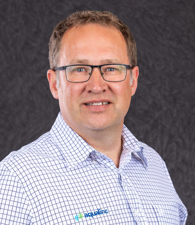
Julian Weir
Principal Engineer – Groundwater Modelling Lead Consultant +64 3 964 6521+64 27 451 5004
Advanced groundwater modelling
Aquifer testing and analyses
Groundwater supply, groundwater bore and well field design
Source protection zone assessments


